![NOCI logo.png]](https://knowledge-software.noc-innovations.com/hs-fs/hubfs/NOCI%20logo.png?height=50&name=NOCI%20logo.png)
Polpred can be configured for any of the NOC models we have available. The models available
vary in area (spatial coverage), resolution, current depth level and number of harmonic constants. So how do you go about choosing the best model for your needs. The obvious answer is to contact us and let us help you. But here’s a few things you will want to consider…
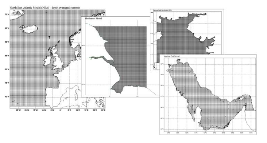
First select your area
Decide what model covers your area, this may limit it to one model eg The Arabian Gulf. However, some of the models overlap, so other factors need to be taken into consideration.
Decide on resolution
The finer the grid resolution, the more accurately the model will be able to resolve smaller-scale
features, such as an eddy around a headland. If you anticipate working close to the coast, around
amphidromic points, in areas of shallower water or where there is significant spatial variation in water depth then the higher resolution model will provide greater accuracy. Higher resolution models also perform better where local features such as sandbanks might be a cause of concern.
Consider the number of harmonic constants available
A higher number of constants will provide greater accuracy; however this might only be a cm or two and for most offshore planning work the smaller number of harmonic constants will be sufficient. However, there are times when the most accurate data is required and in these instances this should be taken into consideration.
Currents at different depths (sigma levels)
A model is either 2D or 3D. A 2D model will only be able to provide currents which are an average for the whole water column. 3D models split the water column into vertical slices. These slices are usually at percentages of the total depth rather than at fixed depths, and are called sigma levels.
The CS3 provides depth-averaged currents. The CS3-3D model is a pseudo 3-D model which can
provide current data at six different depth (sigma) levels deduced from the depth-averaged currents using a set of vertical current profiles.
The CS20 is a true 3-D model. The CS20 has a higher resolution in the vertical. Running the CS20 model with 32 sigma levels used an improved vertical mixing scheme – the general ocean turbulence model2. This gives more accurate tidal currents, although it tends to have higher friction, hence slower currents in many regions. Vertical profiles are determined by how the
bottom friction is transmitted through the water column by turbulent mixing (hence the
importance of the turbulence model). See also CS20 Sigma Levels Information Sheet
Cost
Generally, increased resolution and a greater number of harmonic constants will increase the size of the data set and possibly the overall cost. The licence cost will generally depend on the model
chosen, the size of the area required and the duration of the licence. Discounts are applied for
larger areas and time periods.