![NOCI logo.png]](https://knowledge-software.noc-innovations.com/hs-fs/hubfs/NOCI%20logo.png?height=50&name=NOCI%20logo.png)
This short note gives a brief explanation about the various tidal datums in use across Ireland.
There are three datums in common use - Mean Sea Level, Chart Datum (ACD) and Ordnance
Datum (ODx, where x is the initial letter of the reference location).
If you have a datum value of x metres, you first need to check whether this is referring to the
difference between ACD and MSL, or the difference between ACD and OD. You also have to be careful about the signs (+ or -) used when given this difference in level. It is usually safer to say a datum is x metres above or below another datum than to just specify positive or negative numbers.
Each country usually has its own Ordnance Datum. In the case of Ireland (not Northern Ireland), there are actually two different Ordnance Datums.
The NOC and the UK Hydrographic Office still use “Ordnance Datum Dublin”. What makes ODD
unusual in that it is the only ordnance datum based on the lowest level the tide reached in a
given period rather than a mean level over a given period. Therefore for most locations it lies
below chart datum (hence the reason why you must be careful to check whether the value is positive or negative).
ODD (Ordnance Datum Dublin) also known as Poolbeg Lighthouse Datum, is defined as the level to which the tide fell on 8 April 1837 in Dublin Bay.
There is another datum called Malin Head Vertical Datum which is the mean sea level of the tide
gauge at Malin Head, County Donegal. It was adopted as the national datum in 1970 from readings taken between 1960 and 1969 and all heights on national grid maps are measured above this datum.
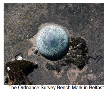
OD (Malin) is actually the same vertical level as OD (Belfast).