![NOCI logo.png]](https://knowledge-software.noc-innovations.com/hs-fs/hubfs/NOCI%20logo.png?height=50&name=NOCI%20logo.png)
Poltips-4 offers a number of different ways to obtain additional information about the location. Clicking the Info button will provide basic information about the selected port.
- Type of port – indicates whether it is a standard port or a secondary port (see page 10 of user guide)
- Harmonics – for standard ports, more information about the harmonics:
o Integrated – the harmonics exist in the standard Poltips database
o Integrated (with shallow water corrections) – special harmonics with reduced capability
o User defined – user has included their own harmonics into the software - Data based on – for secondary ports, this is the reference port on which the time and height
differences are based - Latitude, Longitude – approximate location
- Time Zone – the time zone in which the data will be computed
- Primary Datum
- Secondary Datum – if available will state what this is and give the position of it relative to the primary datum
- Tidal prediction types available – the different types of prediction available for this location – can vary by port
- Port status text – some additional information on the location
- Port Long Name – the extended port name that is used on some of the tide table formats
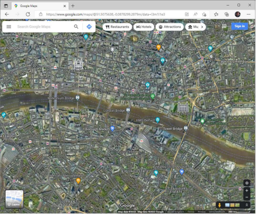
Map
Clicking the Map button will take you to Google Maps centred on the approximate location of the
selected port. This will open in a separate browser window.
Site Information and Real Time Information
If the location is one of the sites on the UK National Tide Gauge Network, clicking the Info button will generate two additional buttons below the output box. These both launch a separate browser windows when clicked will provide historic and statistical information on the gauge itself and will show the data coming straight off the tide gauge in near real-time.
The blue dots represent the 15 minute readings of the water level. The red line is the predicted level. The difference between them is usually the influence of weather (meteorological) conditions such as wind or variations in atmospheric pressure.