![NOCI logo.png]](https://knowledge-software.noc-innovations.com/hs-fs/hubfs/NOCI%20logo.png?height=50&name=NOCI%20logo.png)
Parameters
Sea surface height and tidal surface currents
Other documents
FS80 Quality Assessment Manual FS80_QA.pdf
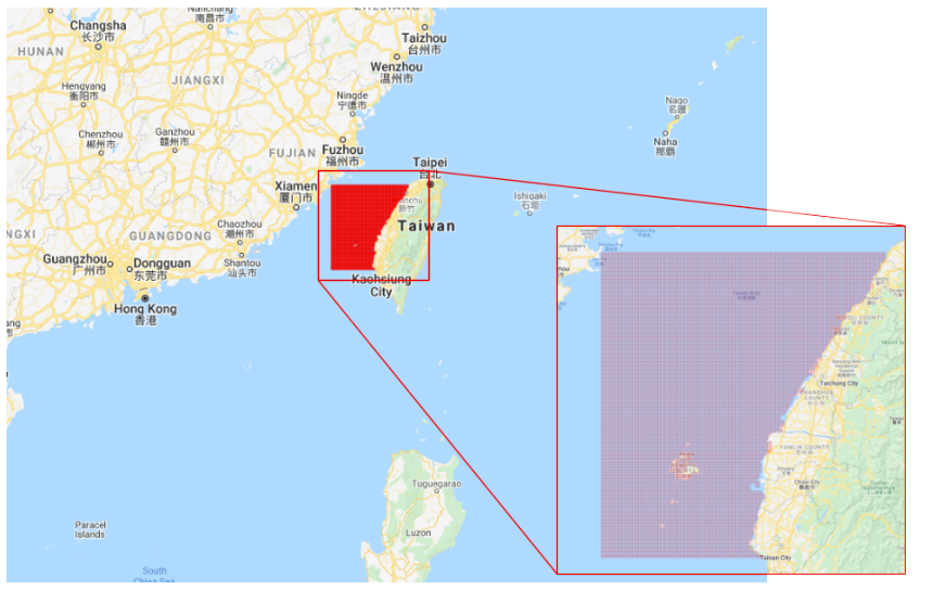
Model Grid
Model Technical Details
This latest version has been created using GEBCO bathymetry, forced at the boundary by a subset of the global tidal model and harmonically analysed to calculate 19 harmonics to form the current dataset. Further information is supplied in the Quality Assessment manual.