![NOCI logo.png]](https://knowledge-software.noc-innovations.com/hs-fs/hubfs/NOCI%20logo.png?height=50&name=NOCI%20logo.png)
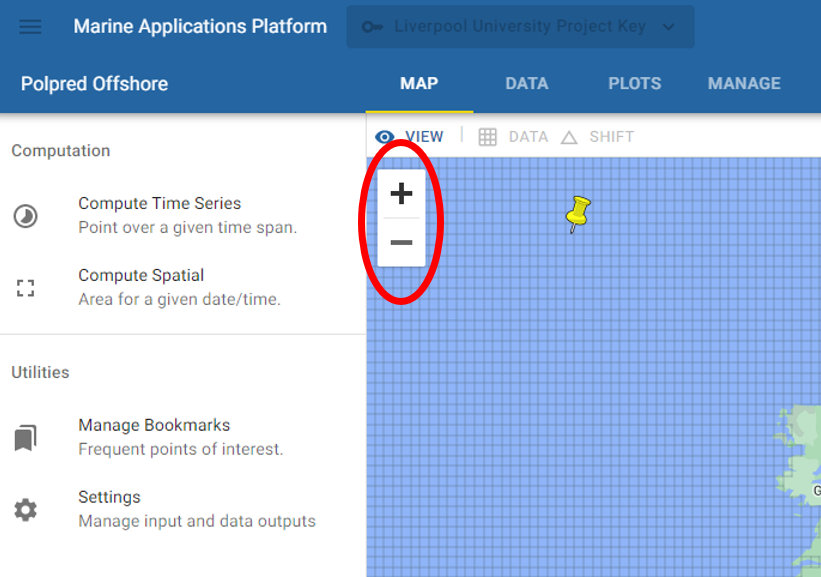
Use the '+' and '-' buttons below to zoom into the geographical area you wish to view:-
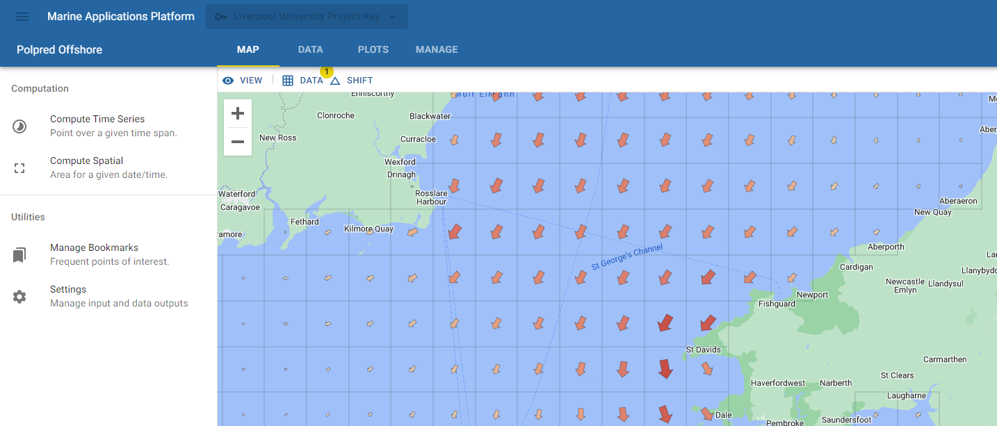
You can easily then select a point by clicking on it to compute time series data or you can select 'Compute Spatial' the the left hand side menu to select an area of interest to you.
Once computed, spatial area data can be viewed MAP view:-
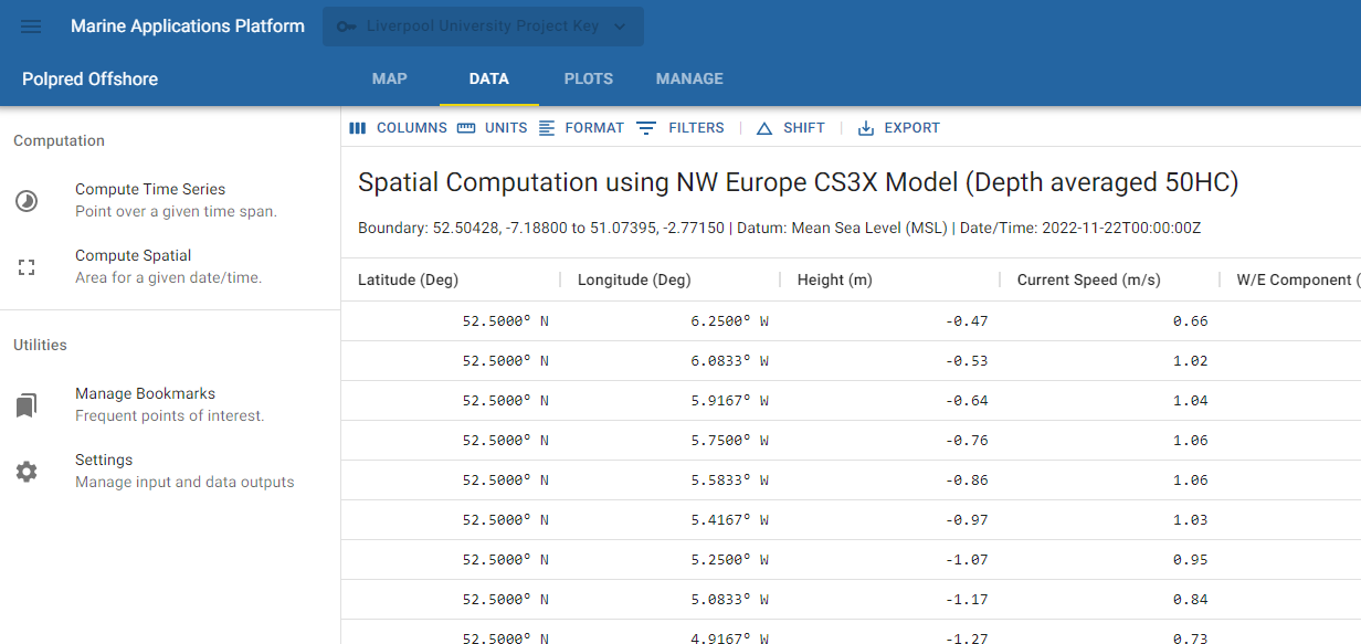
or, by selecting 'DATA' from the top menu, as data:-